
2.6 References
United States Geological Survey (USGS). https://www.usgs.gov/core-science-systems/national-geospatial-program/maps
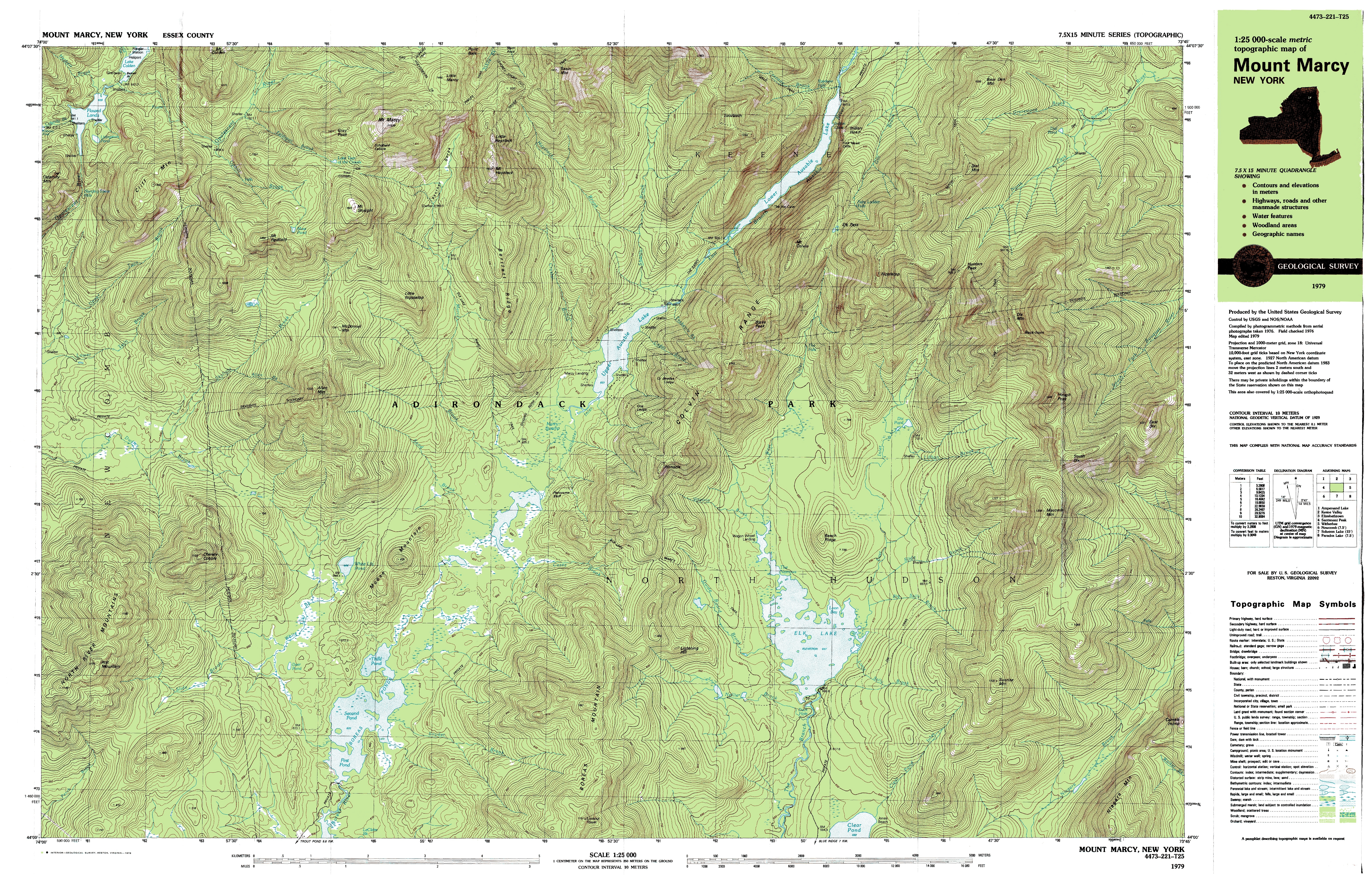
USGS Topographic Map of Mount Mercy, New York 1979. https://upload.wikimedia.org/wikipedia/commons/c/c7/Mount_Marcy_New_York_USGS_topo_map_1979.JPG
Winkel Tripel Projection Map https://upload.wikimedia.org/wikipedia/commons/9/91/Winkel_triple_projection_SW.jpg
USDA Plant Hardiness Zone Map, 1990, copied 2006-12-31. https://commons.wikimedia.org/wiki/File:USDA_Hardiness_zone_map.jpg
Introducing Coordinate Systems and Map Projections. https://www.youtube.com/watch?v=PICwxT0fTHQ
Why all world maps are wrong. https://www.youtube.com/watch?v=kIID5FDi2JQ
Geographic Information Systems (GIS): Dan Scollon at TEDxRedding. https://www.youtube.com/watch?v=9V_Mz7NDy3o
