12.6 Natural Floodplains and Restoration
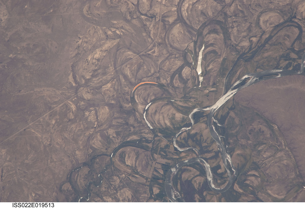
Not all the consequences of flooding are negative. Rivers deposit new nutrient-rich sediments when they flood, and so floodplains have traditionally been suitable for farming. Flooding as a source of nutrients was essential to Egyptians along the Nile River until the Aswan Dam was built in the 1960s. Although the dam protects crops and settlements from the annual floods, farmers must now use fertilizers to feed their crops. Places where streams are allowed to flow without human interaction show streams actively move over the landscape.

Natural Floodplains
Floods are also responsible for moving substantial amounts of sediments about within streams. These sediments provide habitats for animals, and the periodic movement of sediment is crucial to the lives of several types of organisms. Plants and fish along the Colorado River, for example, depend on seasonal flooding to rearrange sand bars.
While streams have largely been controlled through flood mitigation, an argument can be made to restore floodplains to their natural states in order to lessen flooding. According to FEMA, there are many benefits to Natural Floodplains, including:
- Excess water storage: Except in narrow, steep valleys, floodplains provide a broad area which allows floodwaters to spread out and temporarily store excess water. This reduces flood peaks and velocities and the potential for erosion. Flood storage is particularly important in urban areas where even small floods resulting from a 5- or 10-year storm can cause severe flood damage. One acre of floodplain flooded one foot deep holds approximately 330,000 gallons of water.
- Flow rate and erosion reduction: In their natural vegetated state, floodplains slow the rate at which the incoming overland flow reaches the main water body in the area.
- Slowing runoff: A natural floodplain has surface conditions favoring local ponding where water slows and pools, plus subsurface conditions favoring infiltration and storage. Slowing runoff across the floodplain allows additional time for the runoff to infiltrate and recharge available groundwater aquifers when there is unused storage capacity. The slowing of runoff provides the additional benefit of natural purification of water as local runoff or overbank floodwater infiltrates and percolates through the floodplain gravels.
- Conserving wildlife while reducing flood risk: The nation’s coastal and riverine floodplains and surrounding land areas support large and diverse populations of plants and animals by providing habitat and critical sources of energy and nutrients for these organisms. Many species spend their entire lives in the habitats found in and adjacent to the floodplain. The wide variety of plants and animals supported directly or indirectly by floodplains constitutes an extremely valuable, renewable resource important for our economic welfare, aesthetic enjoyment, and physical well-being.
Restoration
Many communities across the country are recognizing the connection between conserving wildlife and reducing flood risk to their inhabitants, and are engaging in activities that both protect important habitat and help minimize community flood loss.
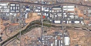
 Backyard Geology: Rio Salado Habitat Restoration Area
The Salt River flowed freely through Phoenix year-round, but after the river was dammed in 1911 and has experienced high water use for irrigation, it has not continuously flowed for decades.

The Rio Salado Habitat Restoration Area, located along the Salt River and managed by Phoenix Parks and Recreation, aims to restore the native wetland and riparian environments that are historic to the area. Utilizing water stored in Tempe Town Lake, the wetland is strategically managed to provide habitat for hundreds of species of migratory birds, as well as recreational and educational opportunities for citizens.
a flat-lying area of land next to a stream that experiences flooding during periods of high discharge
the process in which a material is worn away by a stream of liquid (water) or air, often due to the presence of abrasive particles in the stream
The part of precipitation, snow melt, or other water that flows across the land surface.
water soaking into the ground

